The Kyoto trail is a hiking course of 83.3 km around the Kyoto basin, running from Fushimi-Momoyama station to Kamikatsura station.
I hiked one part of Kyoto trail, from Keage to Mt. Hiei trailhead on April 19th, 2020.
I’ll introduce the Himukai-Daijingu shrine, Mt. Daimonji, Hachi shrine, Kitashirakawa-Tenjingu shrine and others.
Map
Kyoto trail【Keage〜Mt. Hiei trailhead】
- Distance:17.6 km
- Difference in altitude:1200 m
- Time:6 hours
I started hiking from Keage station at No.1 on the map, where my previous hike on the Kyoto trail had ended
Hiking on the Kyoto trail1【Fushimi-inari shrine・Higashiyama・Keage incline】.
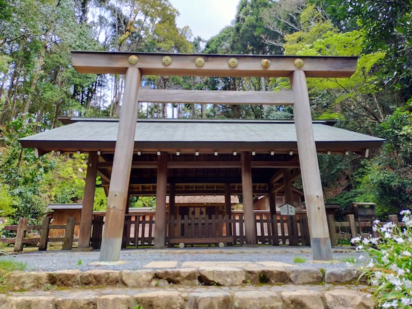
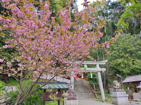
This is Himukai-Daijingu shrine at No.2 on the map.
It was founded about 1500 years ago and is called Ise shrine in Kyoto.
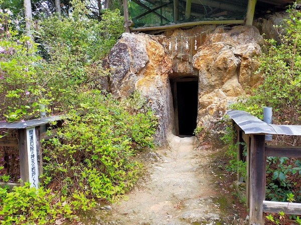
This is Amanoiwato at No.3 on the map.
The Japanese god of sun seemed to hide in the rock.
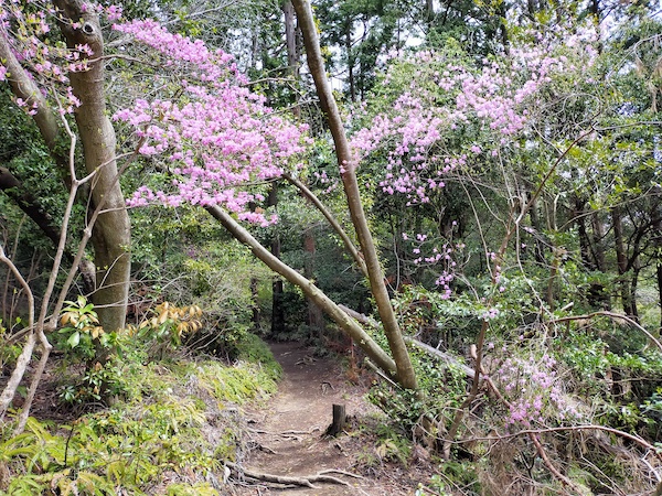
It was mountain path after Himukai-daijingu shrine.
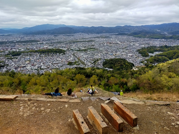
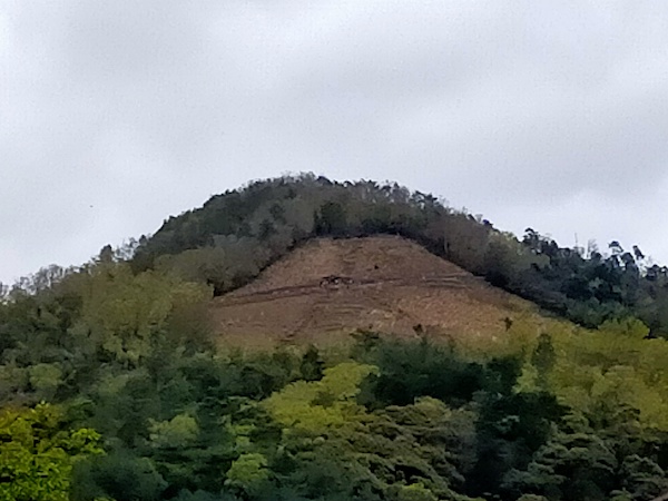
This is the summit of Mt. Daimonji at No.4 on the map.
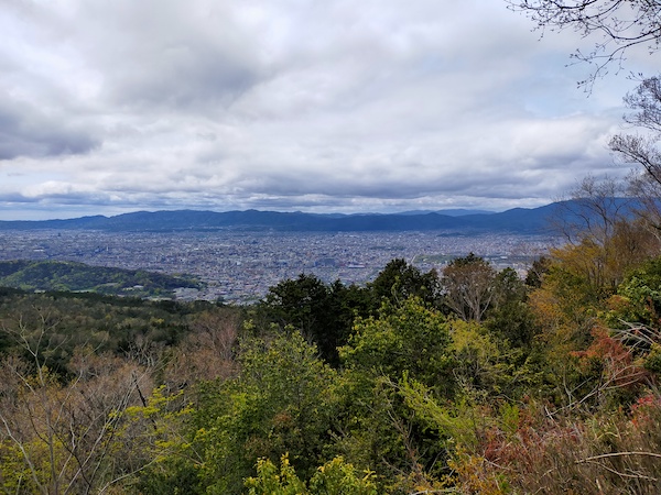
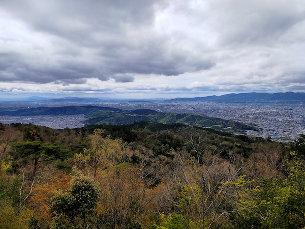
After the summit, there is 「大」character, famous for its mountain bonfire.
A huge bonfire will be put between the blocks on August 16th every year.

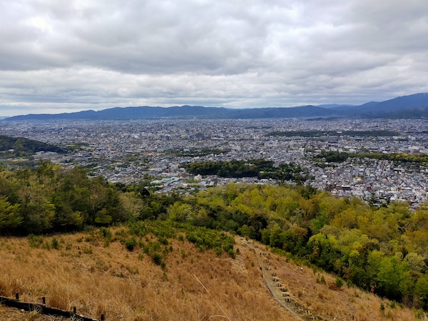
The「大」character seen from the foot of the mountain.
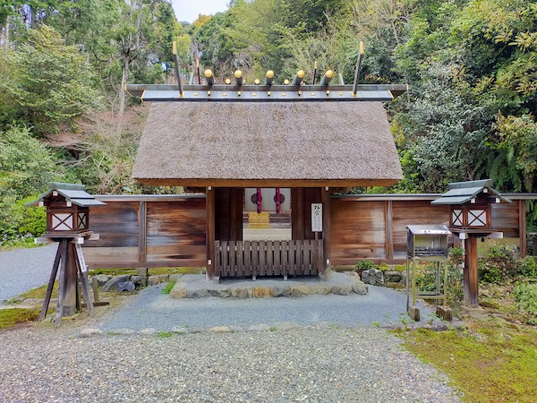
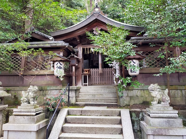
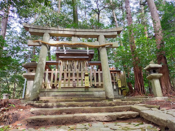
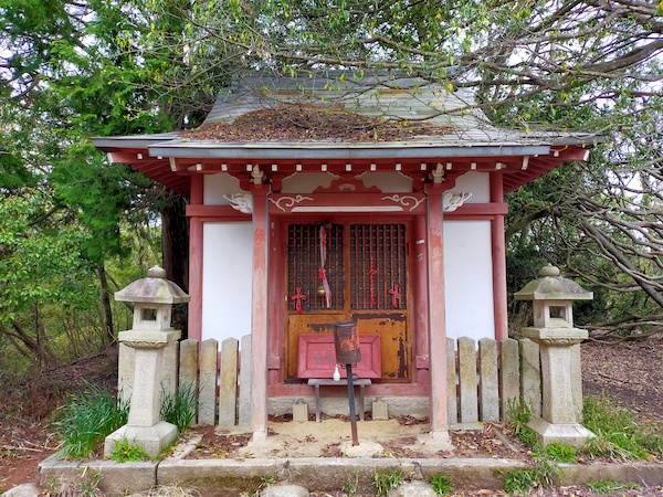
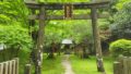
This is Hachi shrine at the No.5 on the map.
It was founded about 1200 years ago.
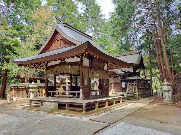
This is Kitashirakawa-Tenjingu shrine at No.6 on the map.
There are no information panels, but it seems to be an old temple.
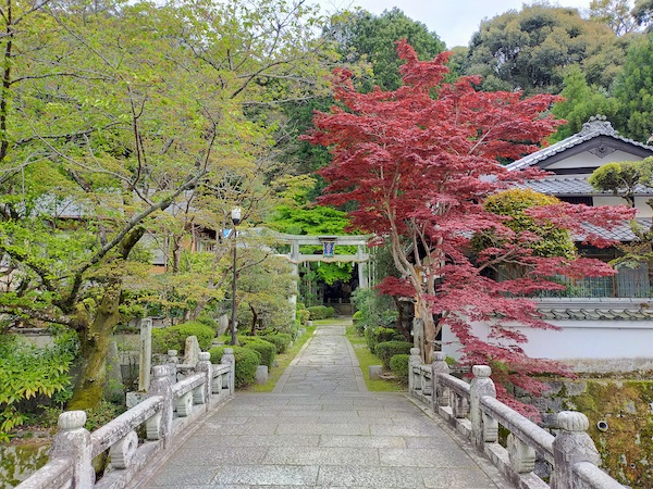
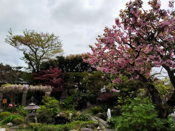
This is Joganin temple at No.7 on the map.
It’s a very small temple, but the garden was beautiful.
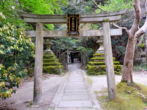
This is Ooyamazumi shrine at No.8 on the map.
There are no information panels, but it seems to be an old temple.
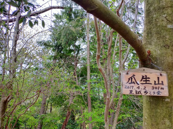
This is the summit of Mt. Uryu.
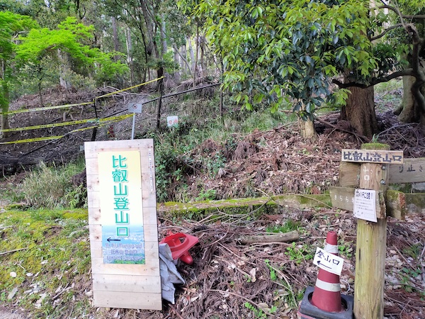
I hiked in the mountain until No.10 on the map and went back to the subway station at No.11 on the map.
Here is my activity record of YAMAP app.
If you click, you can see the details of my hiking course but it’s only in Japanese.
京都一周トレイル-2020-04-19 / スナフキンさんの瓜生山・大文字山(京都府京都市左京区)・てんこ山の活動データ | YAMAP / ヤマップ
Summary
There were many good view points and shrines and temples in this course.
It’s quite a long distance to walk, but it’s close to the center of Kyoto and there are many viewing spots.
This is a map marked with my recommendation spots in Kyoto.
If you click the mark, there is the link of blog article.
コメント