The Kyoto trail is a hiking course of 83.3 km around the Kyoto basin, running from Fushimi-Momoyama station to Kamikatsura station.
I hiked one part of Kyoto trail, from Mt. Hiei trailhead to Ohara on May 17th, 2020.
I’ll introduce the Sagimori shrine, Mt. Hiei, Hieizan-Enryakuji temple, a world heritage, and others.
Map
Kyoto trail【Mt. Hiei trailhead〜Ohara】
- Distance:15.7 km
- Difference in altitude:1279 m
- Time:6 hours
I started hiking from the subway station at No.1 on the map, where my previous hike on the Kyoto trail had ended
Hiking on the Kyoto trail 2【Himukai-daijingu shrine・Mt. Daimonji・Hachi shrine】
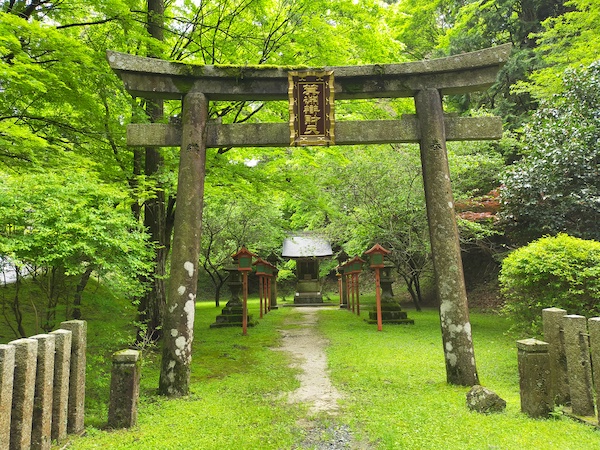
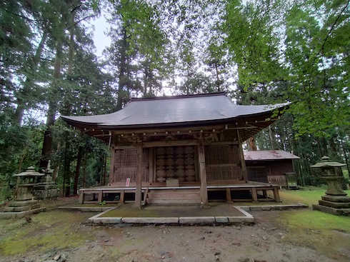
This is Sagimori shrine at No.2 on the map.
It was founded about 1200 years ago and is a famous autumn leaves viewing spot.
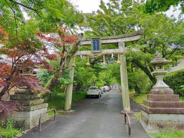
This is Mt. Hiei trailhead at No.3 on the map.
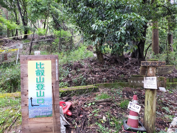
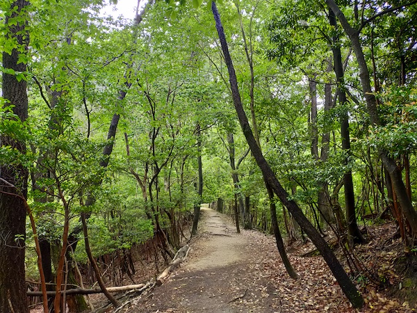
There were beautiful fresh green leaves on the way to the summit of Mt. Hiei.
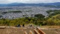
This is near the summit of Mt. Hiei.
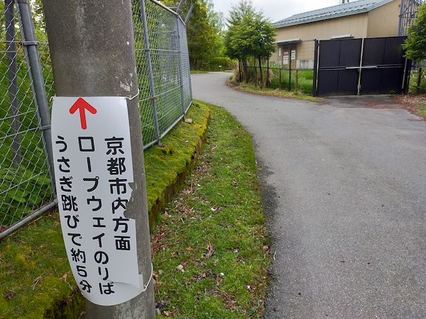
This is near the ropeway station at No.4 on the map.
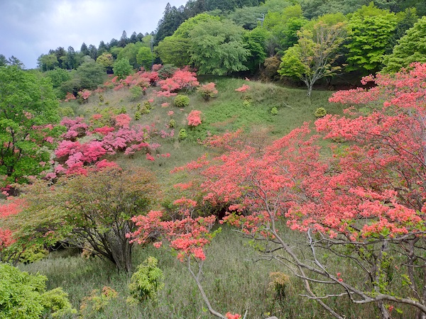
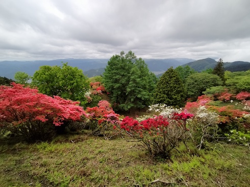
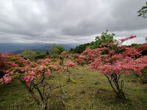
This is the azalea hill at No.5 on the map.
The azalea flowers were at their best.
I hiked to Hieizan-enryakuji temple, a world heritage.
This is Sanouindo at No.6 on the map.
It was a monk’s house about 1200 years ago.
This is Jodoin at No.7 on the map.
It’s the grave of the famous monk Mr. Saicho, who founded Hieizan-Enryakuji temple about 1200 years ago.
The grave was closed.
This is Minobuchi-Benzaiten at No.8 on the map.
I couldn’t find any information about it.

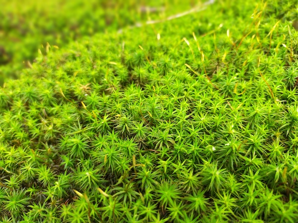
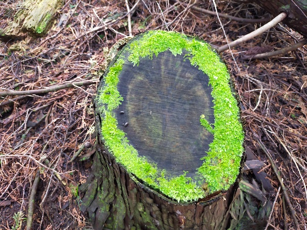
This is Gyogyodo at No.9 on the map.
The mosses were beautiful.
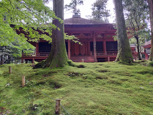
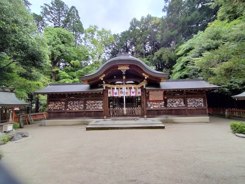
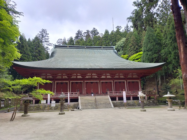
This is Shakado at No.10 on the map, the main hall of the West part of Hieizan-Enryakuji.
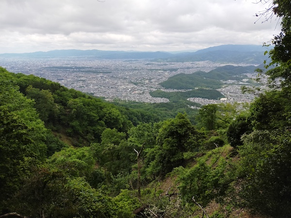
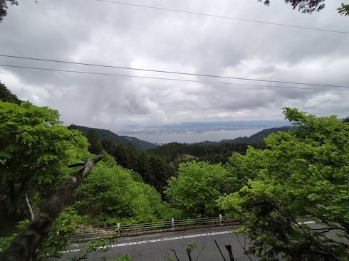
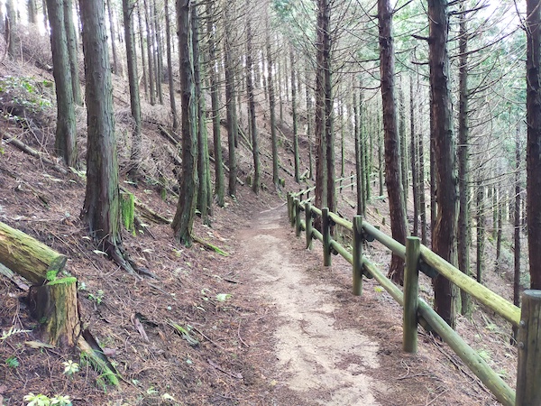
After Hieizan-Enryakuji, I hiked to the North and I could see Lake Biwa, the biggest lake in Japan.
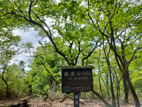
This is Mt. Yokotaka at No.11 on the map.
This is near Ougi mountain pass at No.12 on the map.
I hiked down the mountain from here.
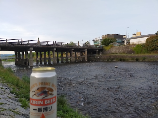
I took a bus at No.13 on the map and had a beer break at Kamo riverside near Sanjo station.
Here is my activity record of YAMAP app.
If you click, you can see the details of my hiking course but it’s only in Japanese.
京都一周トレイル-2020-05-17 / スナフキンさんの四明岳・水井山・横高山の活動データ | YAMAP / ヤマップ
Summary
There were many greens and flowers and historical buildings in this course.
The distance is a bit long, but I could enjoy nature and history of Kyoto.
This is a map marked with my recommendation spots in Kyoto.
If you click the mark, there is the link of blog article.

コメント