
I went to Mt. Atago, a sacred mountain and a famous hiking spot in Kyoto, on May 1st, 2020.
There is Atago shrine at the summit, it was founded about 1300 years ago and is the head shrine of about 900 Atago shrines in Japan.
I’ll introduce hiking Mt. Atago.
Map
Hiking Mt. Atago
- Distance:9.7km
- Differencen in altitude:1096m
- Time:4 hours
There is a bus stop and a parking near Mt. Atago trailhead.
No.1 on the map is the bus stop and No.2 on the map is the parking.
I went there by bicycle from the center of Kyoto and parked at No.1 on the map.
It was about 14 km and 130 m difference in altitude from Kawaramachi station.
This is second torii of Atago shrine at No.3 on the map, just before the trailhead.
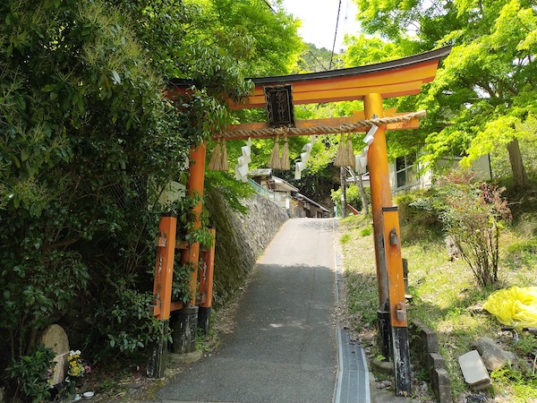
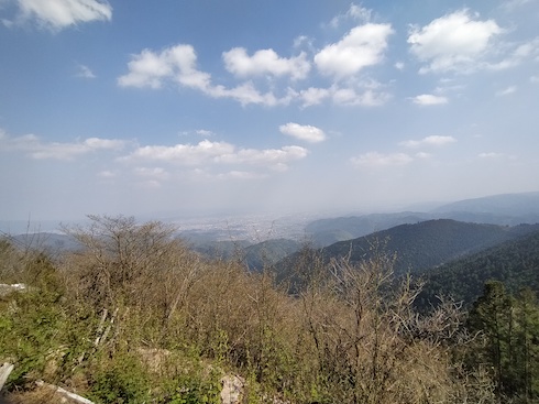
I hiked to the mountain from the trailhead.
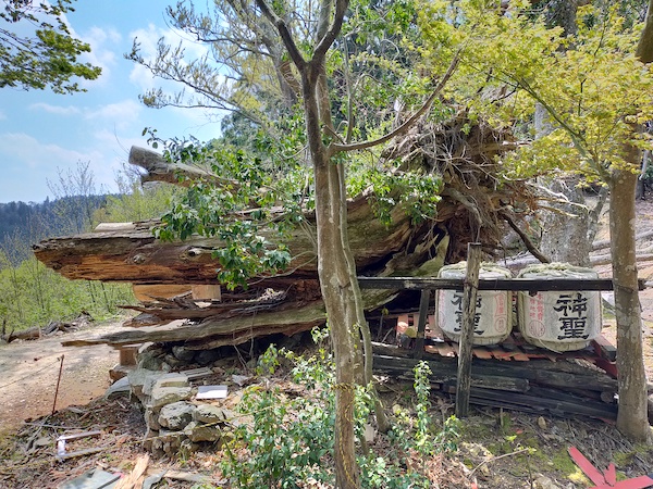
This is the ruin of a shrine at No4. on the map.
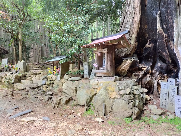
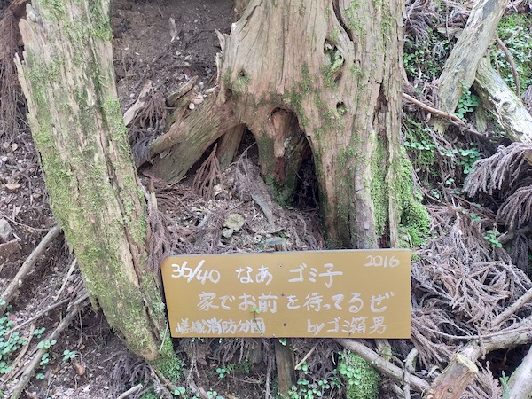
This is a sacred cedar tree at No.5 on the map.
It was destroyed by the 2018 typhoon.
Don’t through away trash.
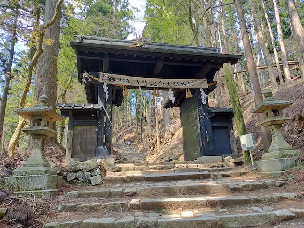
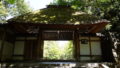
This is “Kuromon”, the black gate, at No.6 on the map.
There was a temple about 150 years ago and Kuromon was the entrance of this temple.
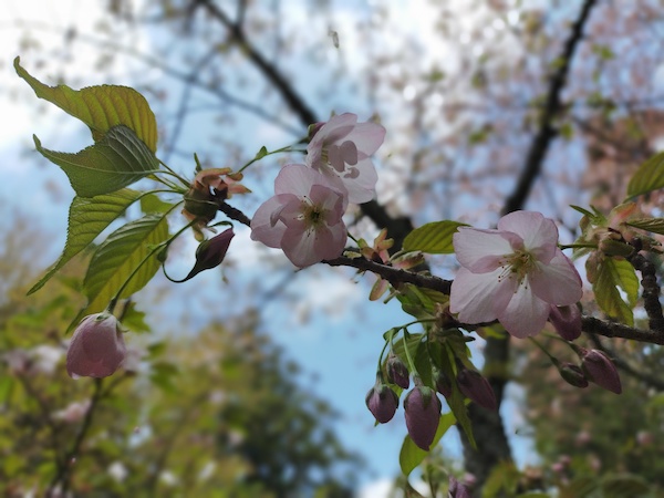
There were cherry blossoms near the summit at the beginning of May.
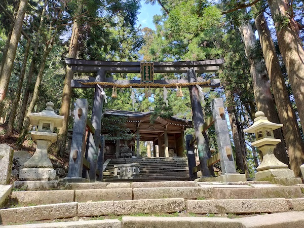
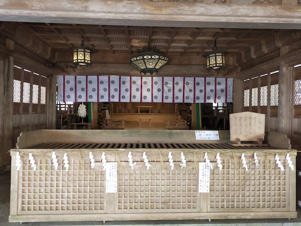
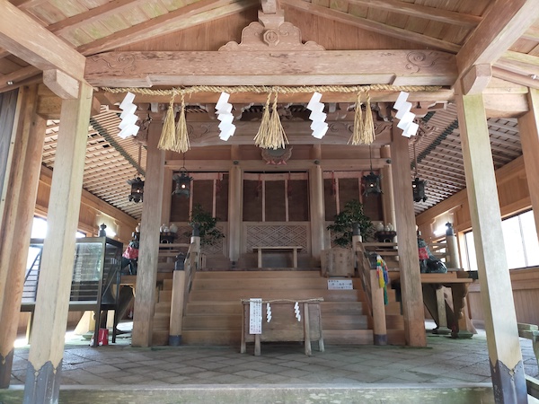
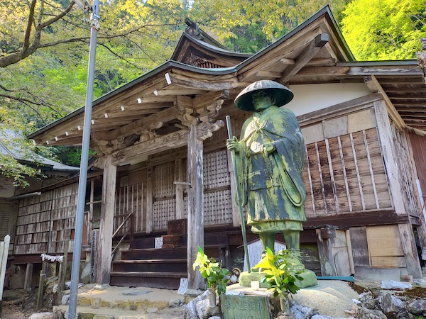
This is Atago shrine at No.7 on the map.
It was founded about 1300 years ago and is the head shrine of about 900 Atago shrines in Japan.
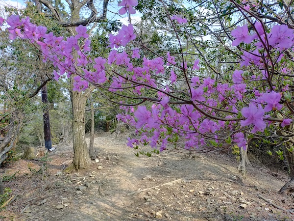
After the Atago shrine, I hiked to Tsukinowadera temple at No.8 on the map.
These photos were taken on the way to Tsukinowadera temple.
The azalea flowers were at their best.
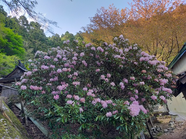
This is Tsukinowadera temple at No.8 on the map.
It was founded about 100 years ago.
The rhododendron flowers were at their best.
I had a close encounter with a wild deer at about 5 m distance, because the monk of the temple gave food to him…
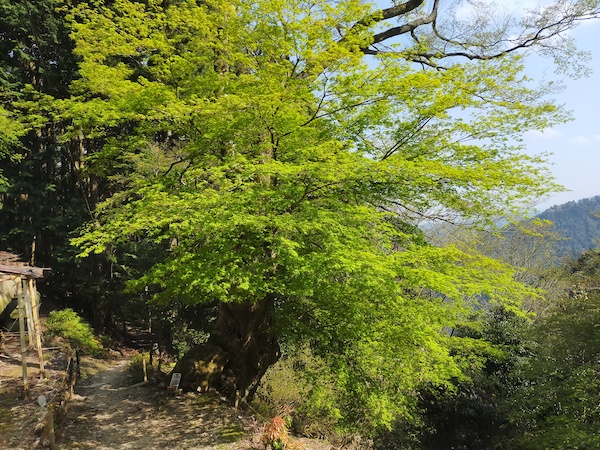
This is a maple tree near Tukinowadera temple, it’s over 1000 years old.
I hiked down the mountain and went back to the center of Kyoto by bicycle.
Here is my activity record of YAMAP app.
If you click, you can see the details of my hiking course but it’s only in Japanese.
愛宕山(京都市)・三頭山・朝日峯-2020-05-01 / スナフキンさんの愛宕山の活動データ | YAMAP / ヤマップ
Sammury
Many hikers hike down on the same way they hiked up, I prefer the hike down through Tsukinowadera temple at No.8 on the map.
I saw azalea flowers and rhododendron flowers only between Atago shrine and Tsukinowadera temple.
This is a map marked with my recommendation spots in Kyoto.
If you click the mark, there is the link of blog article.

コメント