The Kyoto trail is a hiking course of 83.3 km around the Kyoto basin, running from Fushimi-Momoyama station to Kamikatsura station.
I hiked one part of Kyoto trail, from Kamikatsura station to Nishikamo on June 7th, 2020.
I’ll introduce the Jizoin temple, Arashiyama, Kiyotaki river, Sawanoike pond and others.
Map
Kyoto trail【Kamikatsura station 〜 Nishikamo】
- Distance:29.4 km
- Difference in altitude:1507m
- Time:8 hours and 30 min
Nihiskamo, where my previous hike on the Kyoto trail had ended, is not easily accessed from the center of Kyoto.
So I started my 5th and final Kyoto trail hiking course at Kamikatsura station at No.1 on the map.
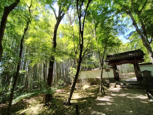
This is Jizoin temple at No.2 on the map.
It was founded about 700 years ago and is called the bamboo temple.
The entrance fee was 500 yen so I didn’t go inside.
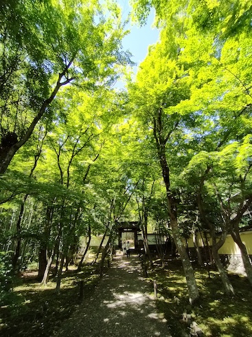
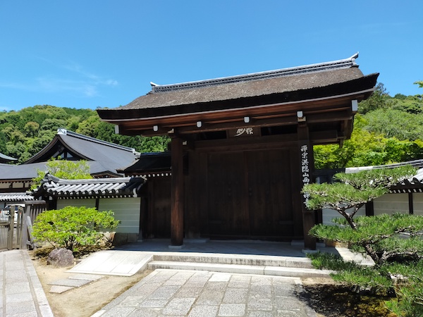
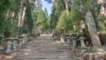
This is Saihoji temple at No.3 on the map.
It’s a world heritage and famous as a moss temple.
You need a reservation and the entrance fee is 3000 yen – it may be the most expensive temple in the world.
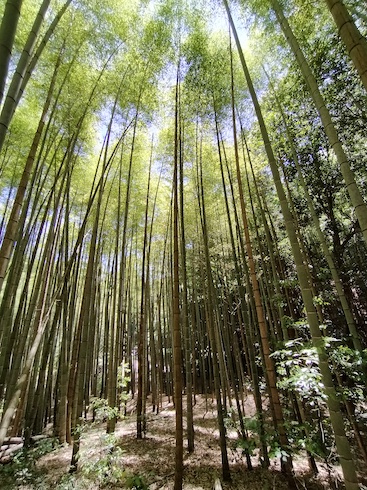
This is the bamboo forest around No.4 on the map.
I hiked to a mountain after No.4 on the map.
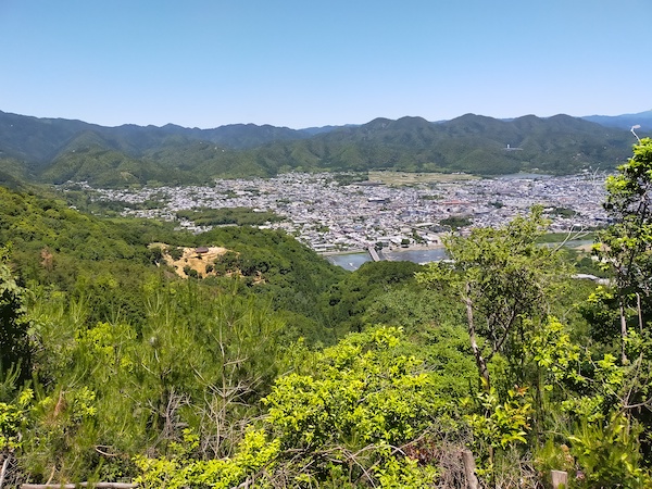
This photo is taken at No.5 on the map, the bridge on the photo is Togetsukyo bridge in Arashiyama. The building in the mountain on the left is the observatory of the Iwatayama monkey park.
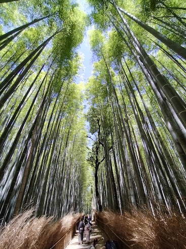
This is the famous bamboo path in Arashiyama at No.6 on the map.

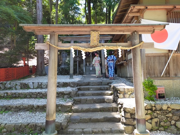
This is Okami shrine, No.7 on the map.
Founded in 1961, it’s the only shrine dedicated to the god of hair in Japan.
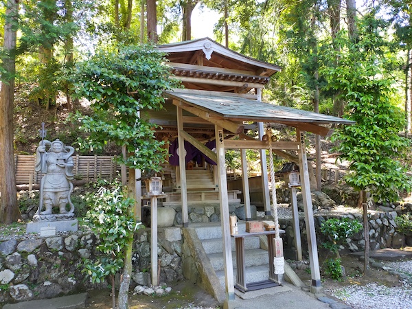
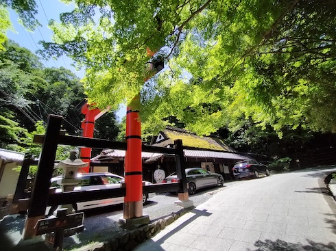
This is Sagatoriimoto at No.8 on the map.
It’s the first Torii on the way to the Atago shrine.
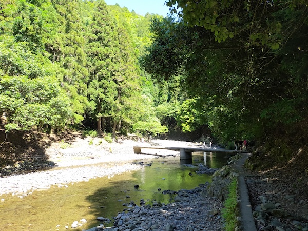
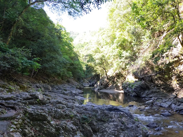
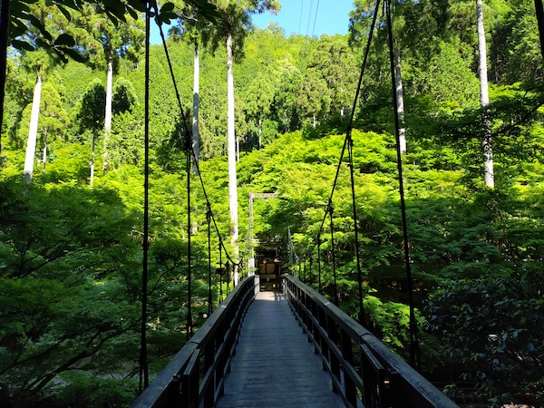
I hiked along Kiyotaki river from No.9 on the map.
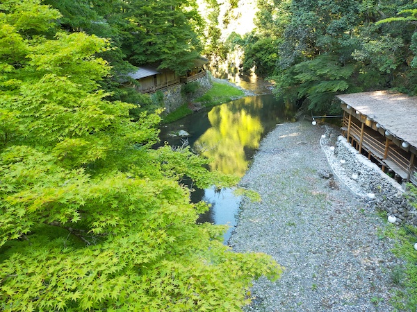
This is around No.10 on the map.
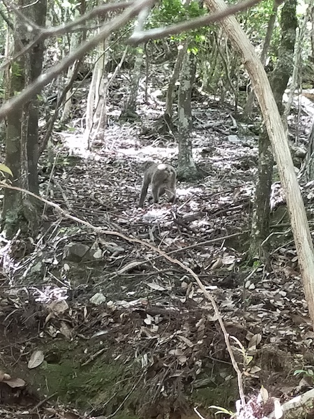
I saw about 10 monkeys around No.11 on the map.
This is Momijibashi bridge at No.12 on the map.
It’s famous for beautiful autumn leaves.
I hiked to a mountain again.
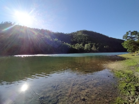
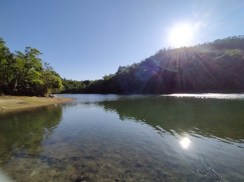
This is Sawanoike pond at No.13 on the map.
I hiked to Nishikamo at No.14 on the map, where my previous hike on the Kyoto trail had ended.
I hiked down the mountain from here.
It is 5 km to the nearest bus station at No.15 on the map, but I walked another 3 km to the nearest subway station at No.16 on the map.
Here is my activity record of YAMAP app.
If you click, you can see the details of my hiking course but it’s only in Japanese.
松尾山・釈迦谷山 / スナフキンさんの釈迦谷山・松尾山(京都府)の活動データ | YAMAP / ヤマップ
Summary
I enjoyed temples and bamboo forest and riverside until No.12 on the map, but the rest of the hike was not so fun.
I think it’s better to stop at No.12 on the map and take the bus back to Kyoto.
It’s an additional 16 km and 1000 m difference in altitude between No.12 and No.14 on the map and it took 5 hours.
This is a map marked with my recommendation spots in Kyoto.
If you click the mark, there is the link of blog article.

コメント